2016
TQ0136 : Sayer's Land near Dunsfold
taken 8 years ago, near to Dunsfold, Surrey, England
This is 1 of 2 images, with title Sayer's Land near Dunsfold in this square
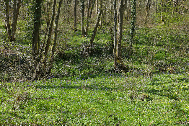
Sayer's Land near Dunsfold
Looking west across the stream in the dip which forms the boundary between Sayer's Land and Jewing's Hurst.
 Map © Crown Copyright")
TIP: Click the map for more Large scale mapping
- Grid Square
- TQ0136, 39 images (more nearby 🔍)
- Photographer
- Alan Hunt (more nearby)
- Date Taken
- Wednesday, 13 April, 2016 (more nearby)
- Submitted
- Wednesday, 20 April, 2016
- Subject Location
-
OSGB36:
 TQ 0158 3648 [10m precision]
WGS84: 51:7.1168N 0:33.0030W - Camera Location
-
OSGB36: TQ 0161 3647
- View Direction
- WEST (about 270 degrees)