2016
SN1245 : Field near Penrallt Uchaf, St Dogmaels
taken 8 years ago, near to Moylgrove, Pembrokeshire/Sir Benfro, Wales
This is 1 of 2 images, with title Field near Penrallt Uchaf, St Dogmaels in this square
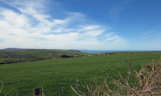
Field near Penrallt Uchaf, St Dogmaels
The village of Moylgrove is across the valley.
 Map © Crown Copyright")
TIP: Click the map for more Large scale mapping
- Grid Square
- SN1245, 10 images (more nearby 🔍)
- Photographer
- Dylan Moore (more nearby)
- Date Taken
- Wednesday, 20 April, 2016 (more nearby)
- Submitted
- Wednesday, 20 April, 2016
- Subject Location
-
OSGB36:
 SN 12766 45362 [1m precision]
WGS84: 52:4.4929N 4:44.0097W - Camera Location
-
OSGB36: SN 12962 45401
- View Direction
- West-southwest (about 247 degrees)