2016
SE9421 : A1077 near Winteringham
taken 8 years ago, near to Winteringham, North Lincolnshire, England
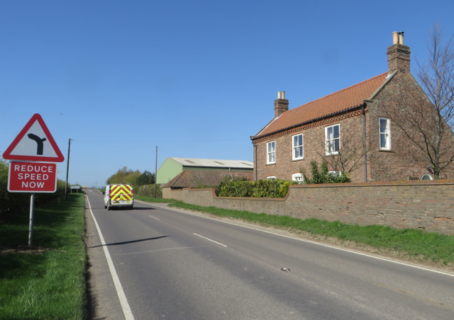
A1077 near Winteringham
This area would appear to be rich in Roman associations - remains of a Romano-British settlement are marked on the map to the right of this position, and the ancient Ermine Street runs off to the right shortly ahead - though you'd be hard pressed to notice anything significant as you pass by.
 Map © Crown Copyright")
TIP: Click the map for more Large scale mapping
- Grid Square
- SE9421, 30 images (more nearby 🔍)
- Photographer
- Paul Harrop (more nearby)
- Date Taken
- Wednesday, 20 April, 2016 (more nearby)
- Submitted
- Thursday, 21 April, 2016
- Subject Location
-
OSGB36:
 SE 9448 2110 [10m precision]
WGS84: 53:40.6700N 0:34.2686W - Camera Location
-
OSGB36: SE 9450 2111
- View Direction
- West-southwest (about 247 degrees)