2016
NT2454 : The upper valley of the Eddleston Water
taken 8 years ago, near to Leadburn, Midlothian, Scotland
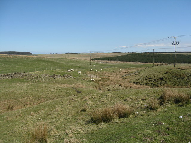
The upper valley of the Eddleston Water
Looking across to Craigburn conifer plantation, which shows some growth since last visited in 2009 NT2454 : New plantation at Craigburn.
 Map © Crown Copyright")
TIP: Click the map for more Large scale mapping
- Grid Square
- NT2454, 16 images (more nearby 🔍)
- Photographer
- M J Richardson (more nearby)
- Date Taken
- Thursday, 21 April, 2016 (more nearby)
- Submitted
- Thursday, 21 April, 2016
- Subject Location
-
OSGB36:
 NT 244 541 [100m precision]
WGS84: 55:46.4742N 3:12.3747W - Camera Location
-
OSGB36: NT 239 541
- View Direction
- EAST (about 90 degrees)