2016
SP4241 : Benchmark on St Peter's Church
taken 8 years ago, near to Drayton, Oxfordshire, England
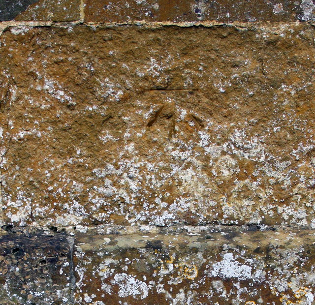
Benchmark on St Peter's Church
Ordnance Survey cut mark benchmark described on the Bench Mark Database at Link
 Map © Crown Copyright")
TIP: Click the map for more Large scale mapping
- Grid Square
- SP4241, 38 images (more nearby 🔍)
- Photographer
- Roger Templeman (more nearby)
- Date Taken
- Monday, 18 April, 2016 (more nearby)
- Submitted
- Thursday, 21 April, 2016
- Subject Location
-
OSGB36:
 SP 4282 4156 [10m precision]
WGS84: 52:4.2456N 1:22.6023W - Camera Location
-
OSGB36: SP 4282 4156
- View Direction
- East-southeast (about 112 degrees)