2016
SE5260 : Winter cereals, north of Moor Lane
taken 8 years ago, near to Newton-on-Ouse, North Yorkshire, England
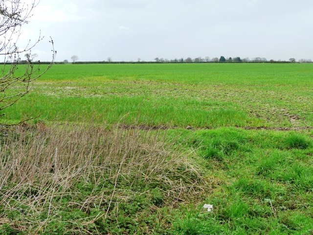
Winter cereals, north of Moor Lane
Around 20 metres above sea level, and not entirely flat, as evidenced by local place names like Ember Hill, Clint Hill and Windmill Field.
 Map © Crown Copyright")
TIP: Click the map for more Large scale mapping
- Grid Square
- SE5260, 19 images (more nearby 🔍)
- Photographer
- Christine Johnstone (more nearby)
- Date Taken
- Wednesday, 13 April, 2016 (more nearby)
- Submitted
- Friday, 22 April, 2016
- Subject Location
-
OSGB36:
 SE 5235 6047 [10m precision]
WGS84: 54:2.2537N 1:12.1293W - Camera Location
-
OSGB36: SE 5241 6042
- View Direction
- Northwest (about 315 degrees)