2016
SS2000 : End of barn by A39 north of Coppathorne
taken 8 years ago, near to Coppathorne, Cornwall, England
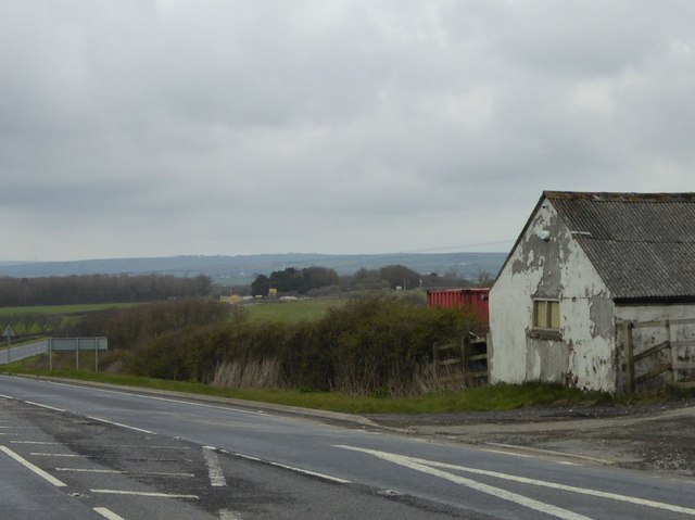
End of barn by A39 north of Coppathorne
 Map © Crown Copyright")
TIP: Click the map for more Large scale mapping
- Grid Square
- SS2000, 6 images (more nearby 🔍)
- Photographer
- David Smith (more nearby)
- Date Taken
- Friday, 15 April, 2016 (more nearby)
- Submitted
- Friday, 22 April, 2016
- Subject Location
-
OSGB36:
 SS 2092 0062 [10m precision]
WGS84: 50:46.6463N 4:32.4857W - Camera Location
-
OSGB36: SS 2089 0058
- View Direction
- North-northeast (about 22 degrees)