2005
NH1633 : South east ridge of Braigh a' Choire Bhig
taken 19 years ago, near to Loch a' Choire Bhig [water Feature], Highland, Great Britain
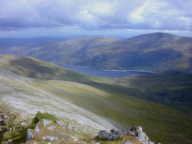
South east ridge of Braigh a' Choire Bhig
The view down the steep but smooth south east ridge, with Loch Mullardoch and Toll Creagach in the distance.
 Map © Crown Copyright")
TIP: Click the map for more Large scale mapping
- Grid Square
- NH1633, 5 images (more nearby 🔍)
- Photographer
- Nigel Brown (more nearby)
- Date Taken
- Tuesday, 5 July, 2005 (more nearby)
- Submitted
- Wednesday, 11 July, 2007
- Subject Location
-
OSGB36:
 NH 167 334 [100m precision]
WGS84: 57:21.2798N 5:2.8453W - Camera Location
-
OSGB36: NH 162 339
- View Direction
- Southeast (about 135 degrees)