2016
NT2750 : Sheepfold, Loch Hill
taken 8 years ago, 3 km from Waterheads, Scottish Borders, Scotland
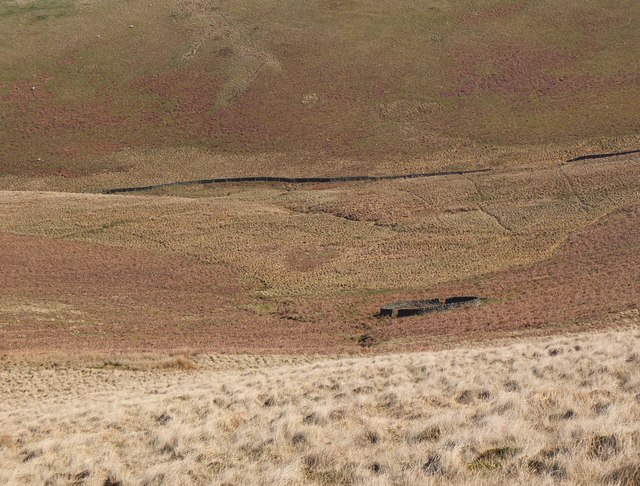
Sheepfold, Loch Hill
 Map © Crown Copyright")
TIP: Click the map for more Large scale mapping
- Grid Square
- NT2750, 8 images (more nearby 🔍)
- Photographer
- Jim Barton (more nearby)
- Date Taken
- Tuesday, 19 April, 2016 (more nearby)
- Submitted
- Tuesday, 26 April, 2016
- Subject Location
-
OSGB36:
 NT 2724 5071 [10m precision]
WGS84: 55:44.6568N 3:9.6329W - Camera Location
-
OSGB36: NT 2704 5044
- View Direction
- Northeast (about 45 degrees)