TV5297 : South Downs Way, Limekiln Bottom
taken 8 years ago, near to Friston, East Sussex, England
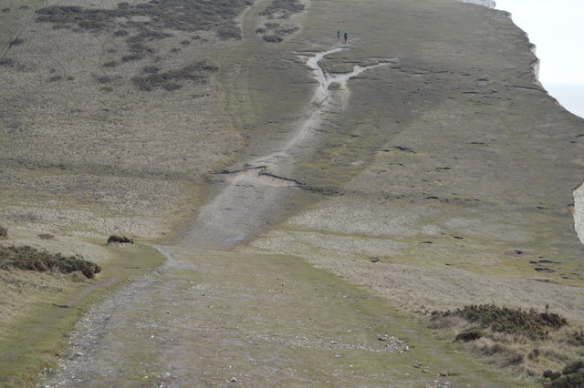
Forming part of the South Downs on the South Coast, the Seven Sisters are a stunning series of white chalk cliffs between Cuckmere Haven and Birling Gap. They are the remnants of dry valleys in the chalk downs, which are gradually being eroded by the sea... Read more at Wikipedia Link
The South Downs Way is a long distance footpath in Southern England and is one of Britain's National Trails. It runs for around 100 miles from Winchester in Hampshire to Eastbourne in Sussex, with a small loop around Eastbourne. The South Downs Way passes through the South Downs, a beautiful area which is now a National Park. The path mainly follows old routes and droveways along the Chalk escarpment. The majority of the path is a bridleway and so can be used by horse-riders and cyclists too.
More information is available from Link
 Map © Crown Copyright")
- Grid Square
- TV5297, 237 images (more nearby 🔍)
- Photographer
- N Chadwick (more nearby)
- Date Taken
- Saturday, 5 March, 2016 (more nearby)
- Submitted
- Tuesday, 26 April, 2016
- Subject Location
-
OSGB36:
 TV 5290 9719 [10m precision]
WGS84: 50:45.2505N 0:9.9748E - Camera Location
-
OSGB36: TV 5283 9723
- View Direction
- East-southeast (about 112 degrees)