2016
SS3809 : Lane near South Wonford
taken 8 years ago, near to Woodacott, Devon, England
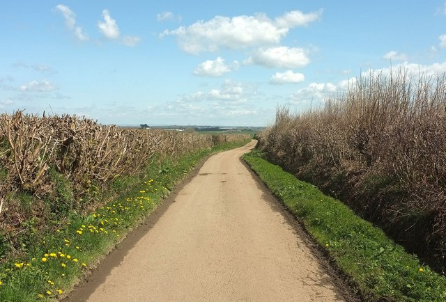
Lane near South Wonford
The lane to Berry Farm, here running along a ridge, but about to plunge down towards the valley of the River Waldon.
 Map © Crown Copyright")
TIP: Click the map for more Large scale mapping
- Grid Square
- SS3809, 9 images (more nearby 🔍)
- Photographer
- Derek Harper (more nearby)
- Date Taken
- Saturday, 23 April, 2016 (more nearby)
- Submitted
- Friday, 29 April, 2016
- Subject Location
-
OSGB36:
 SS 3855 0913 [10m precision]
WGS84: 50:51.5450N 4:17.7203W - Camera Location
-
OSGB36: SS 3851 0911
- View Direction
- East-northeast (about 67 degrees)