2016

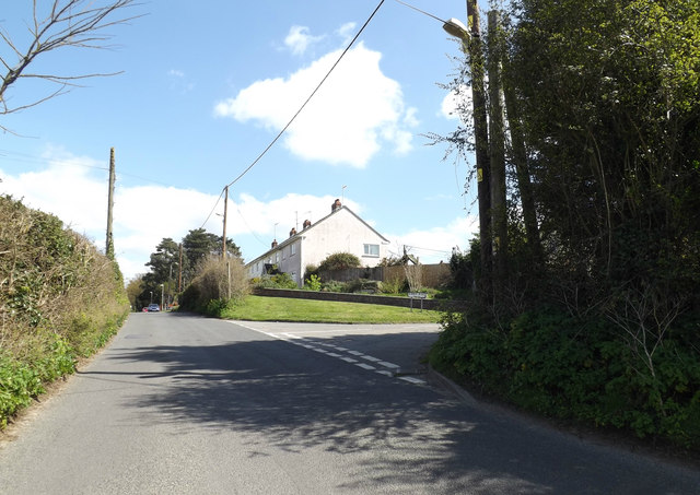
TM1350 : Church Lane, Barham

taken 8 years ago, near to Claydon, Suffolk, England

This is 1 of 6 images, with title Church Lane, Barham in this square
Church Lane, Barham
Church Lane, Barham
At the junction with Kirby Rise

Creative Commons Licence [Some Rights Reserved]   © Copyright Geographer and licensed for reuse under this Creative Commons Licence.
Geographical Context: Village, Rural settlement Roads, Road transport Primary Subject: Road Junction At: Barham other tags: Church Lane Kirby Rise Click a tag, to view other nearby images.
This photo is linked from: Automatic Clusters: · Kirby Rise [28] · Junction with Church Lane [15] Title Clusters: · Church Lane, Barham [6] ·
1:50,000 Modern Day Landranger(TM) Map © Crown Copyright
+
+
1:50,000 Modern Day Landranger(TM) Map © Crown Copyright
TIP: Click the map for more Large scale mapping
Grid Square
TM1350, 120 images   (more nearby 🔍)
Photographer
Geographer   (more nearby)
Date Taken
Tuesday, 19 April, 2016   (more nearby)
Submitted
Saturday, 30 April, 2016
Subject Location
OSGB36: geotagged! TM 13081 50533 [1m precision]
WGS84: 52:6.7228N 1:6.6296E
Camera Location
OSGB36: geotagged! TM 13062 50526
View Direction
East-northeast (about 67 degrees)
Clickable map
+
NW N NE
W Go E
SW S SE
Image classification(about): Geograph
This page has been viewed about 13 times
You are not logged in login | register