2016
TR1667 : The junction of Greenhill Bridge Road and Clarendon Street with Sea Street in Herne Bay
taken 8 years ago, near to Greenhill, Kent, England
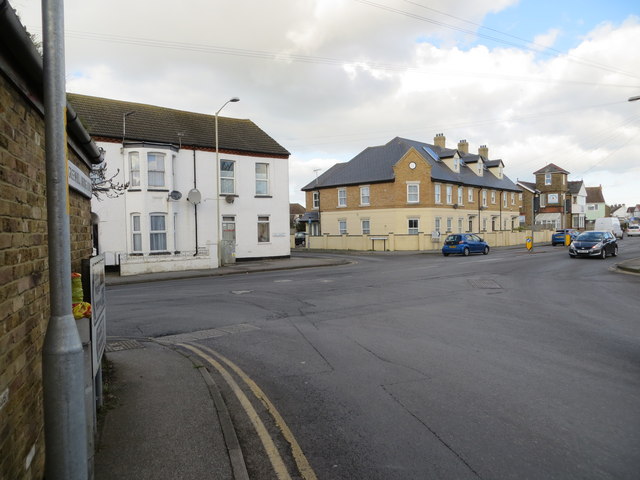
The junction of Greenhill Bridge Road and Clarendon Street with Sea Street in Herne Bay
Looking northward from Greenhill Bridge Road.
 Map © Crown Copyright")
TIP: Click the map for more Large scale mapping
- Grid Square
- TR1667, 54 images (more nearby 🔍)
- Photographer
- Peter Wood (more nearby)
- Date Taken
- Tuesday, 16 February, 2016 (more nearby)
- Submitted
- Sunday, 1 May, 2016
- Subject Location
-
OSGB36:
 TR 16500 67470 [1m precision]
WGS84: 51:21.9007N 1:6.5221E - Camera Location
-
OSGB36: TR 16499 67440
- View Direction
- NORTH (about 0 degrees)