2016
TQ9847 : Ordnance Survey Flush Bracket 2890
taken 8 years ago, near to Westwell, Kent, England
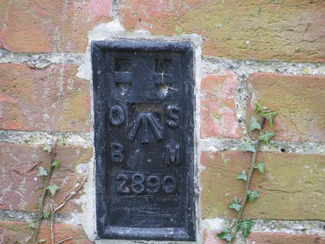
Ordnance Survey Flush Bracket 2890
This can be found on the wall of a house - private dwelling - in Westwell.
For more detail see : Link
For more detail see : Link
 Map © Crown Copyright")
TIP: Click the map for more Large scale mapping
- Grid Square
- TQ9847, 44 images (more nearby 🔍)
- Photographer
- Peter Wood (more nearby)
- Date Taken
- Wednesday, 17 February, 2016 (more nearby)
- Submitted
- Tuesday, 3 May, 2016
- Subject Location
-
OSGB36:
 TQ 98965 47476 [1m precision]
WGS84: 51:11.5116N 0:50.7619E