2007
SH6340 : Drained wetlands in the lower Dwyryd Valley
taken 17 years ago, near to Rhyd, Gwynedd, Wales
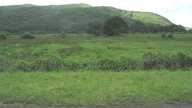
Drained wetlands in the lower Dwyryd Valley
 Map © Crown Copyright")
TIP: Click the map for more Large scale mapping
- Grid Square
- SH6340, 30 images (more nearby 🔍)
- Photographer
- Eric Jones (more nearby)
- Date Taken
- Tuesday, 10 July, 2007 (more nearby)
- Submitted
- Friday, 13 July, 2007
- Subject Location
-
OSGB36:
 SH 635 400 [100m precision]
WGS84: 52:56.4374N 4:1.9251W - Camera Location
-
OSGB36: SH 635 402
- View Direction
- SOUTH (about 180 degrees)