2016
SP7359 : Hunsbarrow Road
taken 8 years ago, near to Far Cotton, West Northamptonshire, England
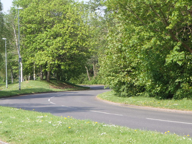
Hunsbarrow Road
Briar Hill.
 Map © Crown Copyright")
TIP: Click the map for more Large scale mapping
- Grid Square
- SP7359, 59 images (more nearby 🔍)
- Photographer
- Burgess Von Thunen (more nearby)
- Date Taken
- Monday, 9 May, 2016 (more nearby)
- Submitted
- Monday, 9 May, 2016
- Subject Location
-
OSGB36:
 SP 7351 5958 [10m precision]
WGS84: 52:13.7714N 0:55.5082W - Camera Location
-
OSGB36: SP 7355 5959
- View Direction
- West-southwest (about 247 degrees)