2016
SS8179 : Track beside the southern boundary of the Grove Golf Club
taken 8 years ago, near to Nottage, Bridgend/Pen-y-Bont ar Ogwr, Wales
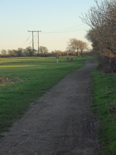
Track beside the southern boundary of the Grove Golf Club
A view from one of the public footpaths which cross the course near South Cornelly.
 Map © Crown Copyright")
TIP: Click the map for more Large scale mapping
- Grid Square
- SS8179, 28 images (more nearby 🔍)
- Photographer
- eswales (more nearby)
- Date Taken
- Wednesday, 24 February, 2016 (more nearby)
- Submitted
- Thursday, 12 May, 2016
- Subject Location
-
OSGB36:
 SS 818 792 [100m precision]
WGS84: 51:30.0095N 3:42.2211W - Camera Location
-
OSGB36: SS 818 793
- View Direction
- South-southeast (about 157 degrees)