2016
TF9705 : Cleared area by Home Farm
taken 8 years ago, near to Cranworth, Norfolk, England
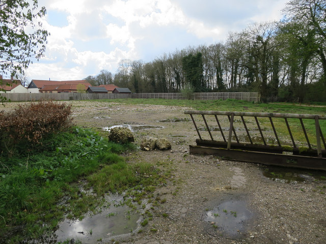
Cleared area by Home Farm
 Map © Crown Copyright")
TIP: Click the map for more Large scale mapping
- Grid Square
- TF9705, 23 images (more nearby 🔍)
- Photographer
- Hugh Venables (more nearby)
- Date Taken
- Sunday, 17 April, 2016 (more nearby)
- Submitted
- Friday, 13 May, 2016
- Subject Location
-
OSGB36:
 TF 9781 0572 [10m precision]
WGS84: 52:36.7930N 0:55.2182E - Camera Location
-
OSGB36: TF 97824 05748
- View Direction
- South-southwest (about 202 degrees)