2007
SD8746 : Top of Harper Street, Barnoldswick, Yorkshire
taken 17 years ago, near to Barnoldswick, Lancashire, England
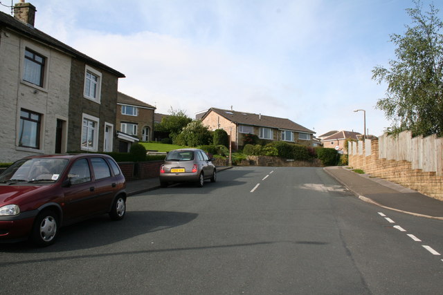
Top of Harper Street, Barnoldswick, Yorkshire
Priory Way comes in from the right near to the camera. Higher up, Harper street reaches its end, with Pennine Way to the left and Monkroyd Avenue to the right.
 Map © Crown Copyright")
TIP: Click the map for more Large scale mapping
- Grid Square
- SD8746, 491 images (more nearby 🔍)
- Photographer
- Dr Neil Clifton (more nearby)
- Date Taken
- Sunday, 8 July, 2007 (more nearby)
- Submitted
- Sunday, 15 July, 2007
- Subject Location
-
OSGB36:
 SD 874 469 [100m precision]
WGS84: 53:55.0852N 2:11.5995W - Camera Location
-
OSGB36: SD 874 470
- View Direction
- South-southwest (about 202 degrees)