2016
NS3876 : Former site of Knowetop Community Farm
taken 8 years ago, near to Renton, West Dunbartonshire, Scotland
This is 1 of 2 images, with title Former site of Knowetop Community Farm in this square
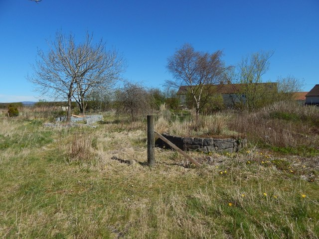
Former site of Knowetop Community Farm
This part was the garden; earlier pictures show how it looked before the community farm was cleared away: NS3876 : Knowetop Community Farm: the garden / NS3876 : Knowetop Community Farm: the garden.
Knowetop Community Farm
This farm was set up as a community project in 1981, and was dependent on public donations. It closed in 2011. It had been hoped that it would re-open in the future, but by 2015 the buildings had been cleared away.
 Map © Crown Copyright")
TIP: Click the map for more Large scale mapping
- Grid Square
- NS3876, 88 images (more nearby 🔍)
- Photographer
- Lairich Rig (more nearby)
- Date Taken
- Wednesday, 20 April, 2016 (more nearby)
- Submitted
- Sunday, 15 May, 2016
- Subject Location
-
OSGB36:
 NS 3827 7622 [10m precision]
WGS84: 55:57.1023N 4:35.5059W - Camera Location
-
OSGB36: NS 3825 7622
- View Direction
- EAST (about 90 degrees)