2016
NN1638 : River Kinglass
taken 8 years ago, near to Coire Slatach [other Features], Argyll And Bute, Great Britain
This is 1 of 2 images, with title River Kinglass in this square
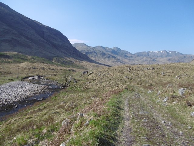
River Kinglass
Downstream of the lodge there is now a new road. A couple of loops of the original track remain and this is the more accessible of the two. The old track was a joy to walk but the new road is now softening as the piles of spoil and borrowpits have been colonised by birch and alder.
 Map © Crown Copyright")
TIP: Click the map for more Large scale mapping
- Grid Square
- NN1638, 12 images (more nearby 🔍)
- Photographer
- Richard Webb (more nearby)
- Date Taken
- Thursday, 12 May, 2016 (more nearby)
- Submitted
- Monday, 16 May, 2016
- Subject Location
-
OSGB36:
 NN 1610 3805 [10m precision]
WGS84: 56:29.9093N 4:59.3546W - Camera Location
-
OSGB36: NN 1611 3808
- View Direction
- South-southwest (about 202 degrees)