2007
SS4604 : Covered reservoir
taken 17 years ago, near to Black Torrington, Devon, England
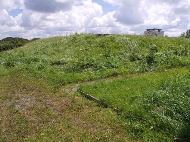
Covered reservoir
A hilltop reservoir by the lane from SS4603 : Windmilland Cross to Black Torrington.
 Map © Crown Copyright")
TIP: Click the map for more Large scale mapping
- Grid Square
- SS4604, 11 images (more nearby 🔍)
- Photographer
- Derek Harper (more nearby)
- Date Taken
- Saturday, 7 July, 2007 (more nearby)
- Submitted
- Sunday, 15 July, 2007
- Subject Location
-
OSGB36:
 SS 4673 0437 [10m precision]
WGS84: 50:49.1122N 4:10.6328W - Camera Location
-
OSGB36: SS 4672 0437
- View Direction
- East-southeast (about 112 degrees)