2016
SP3779 : Blackthorn thicket by the Sowe Valley footpath near Westmorland Road, Coventry
taken 8 years ago, near to Binley, Coventry, England
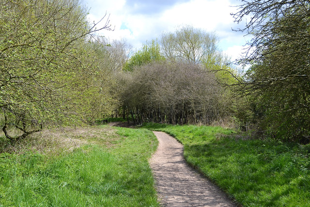
Blackthorn thicket by the Sowe Valley footpath near Westmorland Road, Coventry
A continuing exploration of the valley finds blackthorn thickets everywhere. This is the one seen from within in SP3779 : Blackthorn thicket by the River Sowe near Westmorland Road, Coventry and coming into flower. Flowering time varies: just upstream is SP3879 : Open space in the Sowe Valley east of Sowe Bridge, Walsgrave, Coventry; the more open situation may be a factor. The river is out of view, right. This land had other uses once: behind the camera is a decaying concrete security fence post.
Sowe Valley, Coventry
The River Sowe rises in Bedworth, flowing south towards Coventry; it winds through the city's eastern suburbs before joining the Warwickshire Avon near Stoneleigh. The Sowe Valley Footpath follows the river for over eight miles, mostly through naturalistic green spaces. Link
 Map © Crown Copyright")
TIP: Click the map for more Large scale mapping
- Grid Square
- SP3779, 67 images (more nearby 🔍)
- Photographer
- Robin Stott (more nearby)
- Date Taken
- Saturday, 23 April, 2016 (more nearby)
- Submitted
- Wednesday, 18 May, 2016
- Subject Location
-
OSGB36:
 SP 3777 7954 [10m precision]
WGS84: 52:24.7538N 1:26.7686W - Camera Location
-
OSGB36: SP 3773 7955
- View Direction
- East-southeast (about 112 degrees)