2007
SO8383 : Footpath at Kinver Edge
taken 17 years ago, near to Kinver, Staffordshire, England
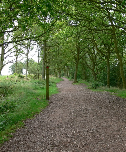
Footpath at Kinver Edge
Follow this path and it leads to the triangulation pillar.
Kinver Edge
Kinver Edge is a heath and woodland escarpment that lies on the border between Worcestershire and Staffordshire. It contains the last cave-houses that were occupied in England, excavated into the local sandstone. The Holy Austin rock houses were inhabited until the 1960s, and are now owned by the National Trust. There are also two Iron Age hillforts on Kinver Edge.
 Map © Crown Copyright")
TIP: Click the map for more Large scale mapping
- Grid Square
- SO8383, 204 images (more nearby 🔍)
- Photographer
- Mat Fascione (more nearby)
- Date Taken
- Wednesday, 11 July, 2007 (more nearby)
- Submitted
- Sunday, 15 July, 2007
- Subject Location
-
OSGB36:
 SO 833 830 [100m precision]
WGS84: 52:26.7256N 2:14.7835W - Camera Location
-
OSGB36: SO 833 830
- View Direction
- Southwest (about 225 degrees)