2016
TQ1711 : Highland Croft, Steyning
taken 8 years ago, near to Steyning, West Sussex, England
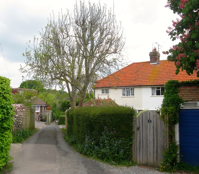
Highland Croft, Steyning
A housing estate begun in the 1930s and completed by the 1950s and bounded by Tanyard Lane, Elmgrove Lane, Chantry Lane and the rear of the houses in Church Street. A small access road runs diagonally down the middle following the course of ancient right of way which remains a public footpath today.
 Map © Crown Copyright")
TIP: Click the map for more Large scale mapping
- Grid Square
- TQ1711, 573 images (more nearby 🔍)
- Photographer
- Simon Carey (more nearby)
- Date Taken
- Sunday, 15 May, 2016 (more nearby)
- Submitted
- Saturday, 21 May, 2016
- Subject Location
-
OSGB36:
 TQ 1769 1141 [10m precision]
WGS84: 50:53.4117N 0:19.6857W - Camera Location
-
OSGB36: TQ 1770 1139
- View Direction
- North-northwest (about 337 degrees)