2016
NY2002 : Ruin above Taw House
taken 8 years ago, 3 km from Boot, Cumbria, England
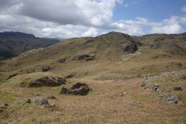
Ruin above Taw House
There is a path marked on the map which descends the fell here but it is not used much now. Following my GPS to keep on the track I came across this ruined hut.
 Map © Crown Copyright")
TIP: Click the map for more Large scale mapping
- Grid Square
- NY2002, 46 images (more nearby 🔍)
- Photographer
- Michael Graham (more nearby)
- Date Taken
- Sunday, 15 May, 2016 (more nearby)
- Submitted
- Saturday, 21 May, 2016
- Subject Location
-
OSGB36:
 NY 2094 0248 [10m precision]
WGS84: 54:24.6961N 3:13.1796W - Camera Location
-
OSGB36: NY 2094 0250
- View Direction
- SOUTH (about 180 degrees)