2007
SD4432 : Road junction
taken 17 years ago, near to Treales, Lancashire, England
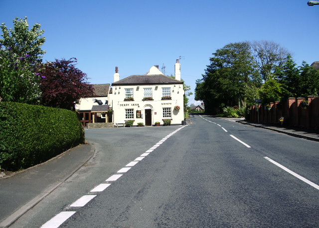
Road junction
Junction of Church Road and Kirkham Road, with the Derby Arms
 Map © Crown Copyright")
TIP: Click the map for more Large scale mapping
- Grid Square
- SD4432, 31 images (more nearby 🔍)
- Photographer
- Alexander P Kapp (more nearby)
- Date Taken
- Friday, 13 July, 2007 (more nearby)
- Submitted
- Sunday, 15 July, 2007
- Subject Location
-
OSGB36:
 SD 441 329 [100m precision]
WGS84: 53:47.3858N 2:50.9627W - Camera Location
-
OSGB36: SD 441 329
- View Direction
- Northeast (about 45 degrees)