2007
SH6504 : Dolgoch Station top path
taken 17 years ago, near to Dolgoch, Gwynedd, Wales
This is 1 of 16 images, with title starting with Dolgoch station in this square
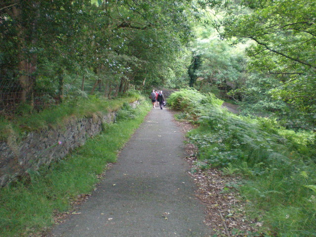
Dolgoch Station top path.
Leading down towards the river.
 Map © Crown Copyright")
TIP: Click the map for more Large scale mapping
- Grid Square
- SH6504, 209 images (more nearby 🔍)
- Photographer
- Hefin Richards (more nearby)
- Date Taken
- Sunday, 8 July, 2007 (more nearby)
- Submitted
- Monday, 16 July, 2007
- Subject Location
-
OSGB36:
 SH 650 044 [100m precision]
WGS84: 52:37.2435N 3:59.6954W - Camera Location
-
OSGB36: SH 650 044
- View Direction
- West-southwest (about 247 degrees)