2007
SH7228 : The Penmaen path
taken 17 years ago, 3 km from Bronaber, Gwynedd, Wales
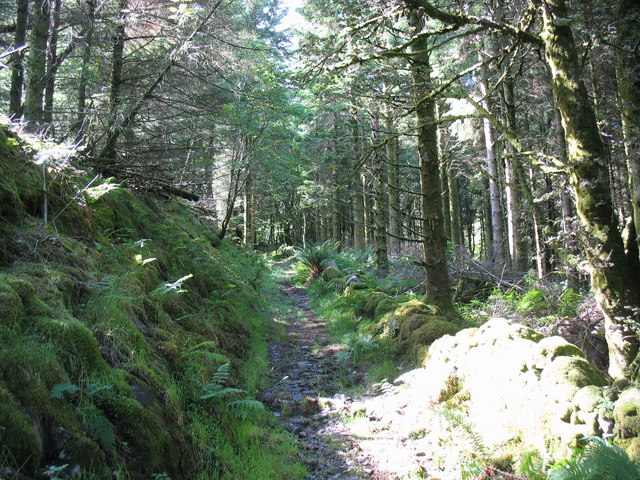
The Penmaen path
 Map © Crown Copyright")
TIP: Click the map for more Large scale mapping
- Grid Square
- SH7228, 25 images (more nearby 🔍)
- Photographer
- Eric Jones (more nearby)
- Date Taken
- Saturday, 7 July, 2007 (more nearby)
- Submitted
- Monday, 16 July, 2007
- Subject Location
-
OSGB36:
 SH 723 289 [100m precision]
WGS84: 52:50.5460N 3:53.8096W - Camera Location
-
OSGB36: SH 723 289
- View Direction
- West-southwest (about 247 degrees)