2015
TF5419 : Westbound A17 near to Terrington St Clement
taken 9 years ago, near to Terrington st Clement, Norfolk, England
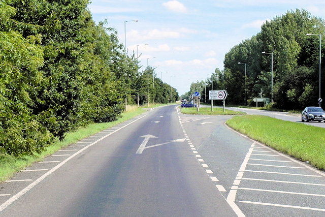
Westbound A17 near to Terrington St Clement
The A17 is the major route for HGV's accessing Norfolk from Northern England and the Midlands and also a major holiday route in the summer months for cars and caravans making their way to the seaside resorts of Hunstanton, Wells-next-the-Sea, Sheringham, Cromer and Great Yarmouth and is one of only two direct routes that links Norfolk with the A1, the other being the A47. It runs for almost 60 miles from Winthorpe, near Newark-on-Trent to King's Lynn across the flat landscape of the Lincolnshire fens with only four stretches of dual carriageway.
Link SABRE
SABRE
Link Wikipedia
See other images of The A17
Link
Link
See other images of The A17
 Map © Crown Copyright")
TIP: Click the map for more Large scale mapping
- Grid Square
- TF5419, 20 images (more nearby 🔍)
- Photographer
- David Dixon (more nearby)
- Date Taken
- Sunday, 2 August, 2015 (more nearby)
- Submitted
- Sunday, 22 May, 2016
- Subject Location
-
OSGB36:
 TF 5499 1902 [10m precision]
WGS84: 52:44.7949N 0:17.6829E - Camera Location
-
OSGB36: TF 5491 1901
- View Direction
- EAST (about 90 degrees)