2007
TA0111 : Worlaby Carrs
taken 17 years ago, near to Worlaby, North Lincolnshire, England
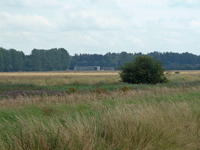
Worlaby Carrs
Photo taken from a position on the bank of Soak Drain about 200m southsoutheast of Carr Lane Bridge. The buildings in the centre of the picture are at Rennison's Carr Farm.
 Map © Crown Copyright")
TIP: Click the map for more Large scale mapping
- Grid Square
- TA0111, 15 images (more nearby 🔍)
- Photographer
- David Wright (more nearby)
- Date Taken
- Monday, 16 July, 2007 (more nearby)
- Submitted
- Monday, 16 July, 2007
- Subject Location
-
OSGB36:
 TA 015 117 [100m precision]
WGS84: 53:35.5236N 0:28.0782W - Camera Location
-
OSGB36: TA 003 128
- View Direction
- Southeast (about 135 degrees)