2016
SJ7951 : Audley: Alsager Road allotments
taken 8 years ago, near to Audley, Staffordshire, England
This is 1 of 2 images, with title Audley: Alsager Road allotments in this square
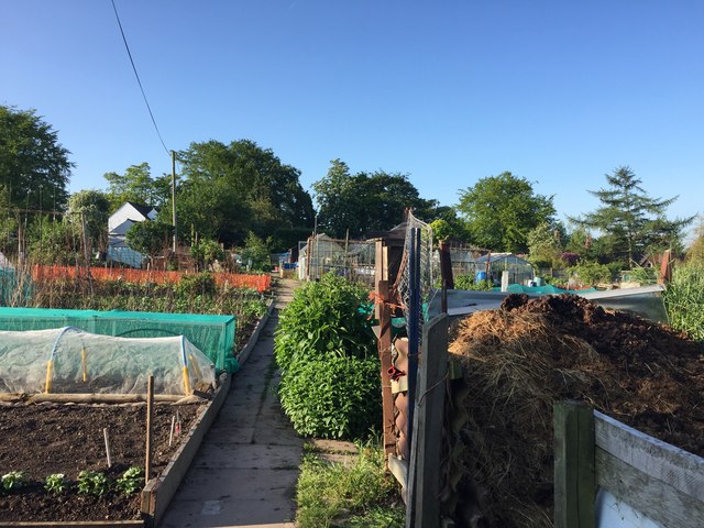
Audley: Alsager Road allotments
 Map © Crown Copyright")
TIP: Click the map for more Large scale mapping
- Grid Square
- SJ7951, 145 images (more nearby 🔍)
- Photographer
- Jonathan Hutchins (more nearby)
- Date Taken
- Tuesday, 24 May, 2016 (more nearby)
- Submitted
- Tuesday, 24 May, 2016
- Subject Location
-
OSGB36:
 SJ 7975 5105 [10m precision]
WGS84: 53:3.3789N 2:18.2147W - Camera Location
-
OSGB36: SJ 79759 51087
- View Direction
- SOUTH (about 180 degrees)