2016
SK1674 : Path along the rim of Cressbrook Dale
taken 8 years ago, near to Cressbrook, Derbyshire, England
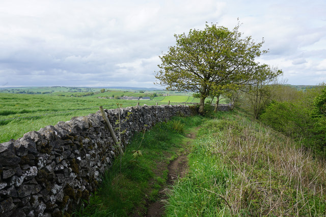
Path along the rim of Cressbrook Dale
Ahead, the village of Litton is just coming into view.
 Map © Crown Copyright")
TIP: Click the map for more Large scale mapping
- Grid Square
- SK1674, 66 images (more nearby 🔍)
- Photographer
- Bill Boaden (more nearby)
- Date Taken
- Friday, 20 May, 2016 (more nearby)
- Submitted
- Tuesday, 24 May, 2016
- Subject Location
-
OSGB36:
 SK 1696 7408 [10m precision]
WGS84: 53:15.8070N 1:44.8319W - Camera Location
-
OSGB36: SK 1696 7405
- View Direction
- NORTH (about 0 degrees)