2016
SS5896 : Pont-y-cob Road
taken 8 years ago, near to Gowerton, Swansea/Abertawe, Wales
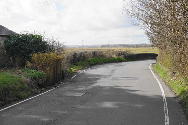
Pont-y-cob Road
On the edge of Gowerton leading towards the mud flats adjoining the Loughor estuary.
 Map © Crown Copyright")
TIP: Click the map for more Large scale mapping
- Grid Square
- SS5896, 48 images (more nearby 🔍)
- Photographer
- Bill Boaden (more nearby)
- Date Taken
- Wednesday, 6 April, 2016 (more nearby)
- Submitted
- Wednesday, 25 May, 2016
- Subject Location
-
OSGB36:
 SS 5801 9675 [10m precision]
WGS84: 51:39.0936N 4:3.2306W - Camera Location
-
OSGB36: SS 5803 9673
- View Direction
- Northwest (about 315 degrees)