2016
SD9735 : Boundary stone in context, Wadsworth / Haworth
taken 8 years ago, 4 km WSW of Stanbury, Bradford, England
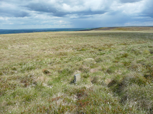
Boundary stone in context, Wadsworth / Haworth
I am not sure about the view direction, but think that the low hill on the right must be Dick Delf Hill.
 Map © Crown Copyright")
TIP: Click the map for more Large scale mapping
- Grid Square
- SD9735, 23 images (more nearby 🔍)
- Photographer
- Humphrey Bolton (more nearby)
- Date Taken
- Monday, 23 May, 2016 (more nearby)
- Submitted
- Thursday, 26 May, 2016
- Subject Location
-
OSGB36:
 SD 9783 3504 [10m precision]
WGS84: 53:48.6985N 2:2.0662W - Camera Location
-
OSGB36: SD 9783 3504
- View Direction
- EAST (about 90 degrees)