2016
SH3172 : High Street, Rhosneigr
taken 8 years ago, near to Rhosneigr, Isle of Anglesey/Sir Ynys Mon, Wales
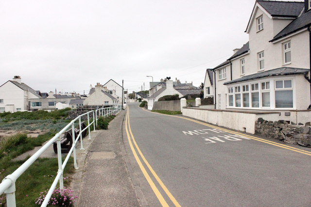
High Street, Rhosneigr
Looking north from the southern end of High Street. This is also the route of the Anglesey Coastal Path as it passes through Rhosneigr.
 Map © Crown Copyright")
TIP: Click the map for more Large scale mapping
- Grid Square
- SH3172, 40 images (more nearby 🔍)
- Photographer
- Jeff Buck (more nearby)
- Date Taken
- Tuesday, 17 May, 2016 (more nearby)
- Submitted
- Friday, 27 May, 2016
- Subject Location
-
OSGB36:
 SH 3168 7280 [10m precision]
WGS84: 53:13.5301N 4:31.3726W - Camera Location
-
OSGB36: SH 3168 7278
- View Direction
- NORTH (about 0 degrees)