2016

ST8021 : Field at Woodville

taken 8 years ago, near to Stour Provost, Dorset, England
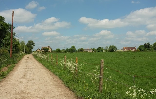
Field at Woodville
Field at Woodville
The farm lane is used by footpath N71 31.

Creative Commons Licence [Some Rights Reserved]   © Copyright Derek Harper and licensed for reuse under this Creative Commons Licence.
Geographical Context: Lowlands Paths Farm, Fishery, Market Gardening Housing, Dwellings Fence: Post and Wire Plant: Cow Parsley other tags: Farm Lane Farmland Houses Telegraph Poles Click a tag, to view other nearby images.
This photo is linked from: Automatic Clusters: · Woodville [8] · Stour Lane [4] · Field [3] ·
1:50,000 Modern Day Landranger(TM) Map © Crown Copyright
+
+
1:50,000 Modern Day Landranger(TM) Map © Crown Copyright
TIP: Click the map for more Large scale mapping
Grid Square
ST8021, 22 images   (more nearby 🔍)
Photographer
Derek Harper   (more nearby)
Date Taken
Thursday, 26 May, 2016   (more nearby)
Submitted
Saturday, 28 May, 2016
Subject Location
OSGB36: geotagged! ST 8038 2150 [10m precision]
WGS84: 50:59.5535N 2:16.8558W
Camera Location
OSGB36: geotagged! ST 8044 2138
View Direction
North-northwest (about 337 degrees)
Clickable map
+
NW N NE
W Go E
SW S SE
Image Type (about): geograph  (Fourth Visitor for ST8021) · First in 5 Years (TPoint) (about)
This page has been viewed about 16 times
You are not logged in login | register