2016
SH3173 : Rhosneigr Memorial Clocktower
taken 8 years ago, near to Rhosneigr, Isle of Anglesey/Sir Ynys Mon, Wales
This is 1 of 12 images, with title starting with Rhosneigr in this square
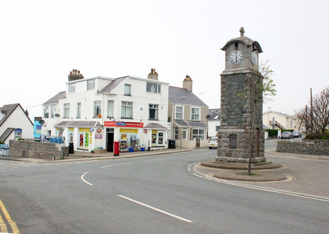
Rhosneigr Memorial Clocktower
Rhosneigr Memorial Clocktower was unveiled in 1920. It is situated on the junction of the A4080, Ffordd Maelog and Station Road.
 Map © Crown Copyright")
TIP: Click the map for more Large scale mapping
- Grid Square
- SH3173, 82 images (more nearby 🔍)
- Photographer
- Jeff Buck (more nearby)
- Date Taken
- Tuesday, 17 May, 2016 (more nearby)
- Submitted
- Saturday, 28 May, 2016
- Subject Location
-
OSGB36:
 SH 3187 7312 [10m precision]
WGS84: 53:13.7062N 4:31.2122W - Camera Location
-
OSGB36: SH 3188 7310
- View Direction
- Northwest (about 315 degrees)