2016
SJ9989 : Smithy Lane out of Brook Bottom
taken 8 years ago, near to Mellor, Stockport, England
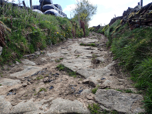
Smithy Lane out of Brook Bottom
 Map © Crown Copyright")
TIP: Click the map for more Large scale mapping
- Grid Square
- SJ9989, 24 images (more nearby 🔍)
- Photographer
- Mick Garratt (more nearby)
- Date Taken
- Saturday, 14 May, 2016 (more nearby)
- Submitted
- Sunday, 29 May, 2016
- Subject Location
-
OSGB36:
 SJ 9914 8995 [10m precision]
WGS84: 53:24.3820N 2:0.8641W - Camera Location
-
OSGB36: SJ 9910 8999
- View Direction
- Southeast (about 135 degrees)