2016
SP0394 : Tween lakes - Red House Park, Great Barr, Sandwell
taken 8 years ago, near to Great Barr, Sandwell, England
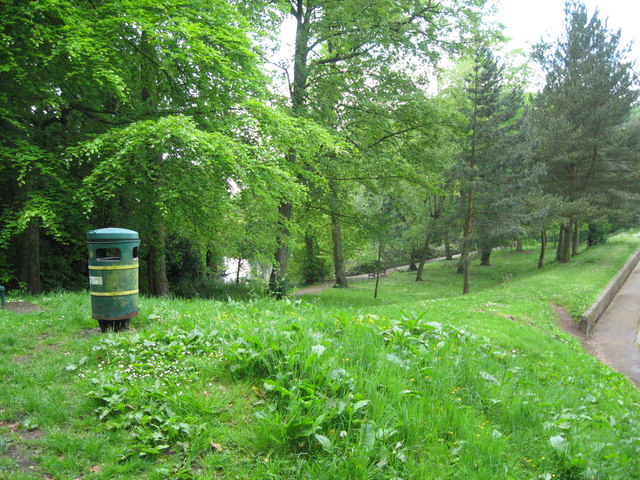
Tween lakes - Red House Park, Great Barr, Sandwell
A view from the path at the south end of the dam between the two lakes. The southern lake, the left hand one, dates from the original creation of the Park and the northern lake, the right hand one, was created at the time of the building of the M5 and M6 motorways to give relief drainage in times of flood. Time taken 3.32 pm BST (British Summer Time).
 Map © Crown Copyright")
TIP: Click the map for more Large scale mapping
- Grid Square
- SP0394, 90 images (more nearby 🔍)
- Photographer
- Martin Richard Phelan (more nearby)
- Date Taken
- Sunday, 22 May, 2016 (more nearby)
- Submitted
- Sunday, 29 May, 2016
- Subject Location
-
OSGB36:
 SP 0374 9445 [10m precision]
WGS84: 52:32.8732N 1:56.7767W - Camera Location
-
OSGB36: SP 0382 9447
- View Direction
- West-southwest (about 247 degrees)