2016
NY1514 : The Red Pike path
taken 8 years ago, 3 km from Buttermere, Cumbria, England
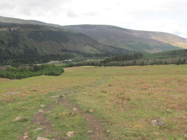
The Red Pike path
Looking back down into Ennerdale.
 Map © Crown Copyright")
TIP: Click the map for more Large scale mapping
- Grid Square
- NY1514, 8 images (more nearby 🔍)
- Photographer
- steven ruffles (more nearby)
- Date Taken
- Monday, 23 May, 2016 (more nearby)
- Submitted
- Monday, 30 May, 2016
- Subject Location
-
OSGB36:
 NY 1507 1493 [10m precision]
WGS84: 54:31.3508N 3:18.8195W - Camera Location
-
OSGB36: NY 1512 1496
- View Direction
- West-southwest (about 247 degrees)