2016
TQ0663 : Farmland beside the River Wey
taken 8 years ago, near to Addlestone, Surrey, England
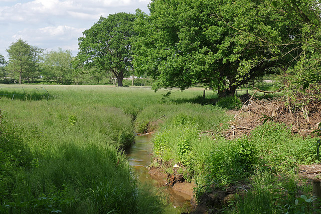
Farmland beside the River Wey
A drain from the former gravel pits flowing across the fields to empty into the Wey
 Map © Crown Copyright")
TIP: Click the map for more Large scale mapping
- Grid Square
- TQ0663, 62 images (more nearby 🔍)
- Photographer
- Alan Hunt (more nearby)
- Date Taken
- Thursday, 26 May, 2016 (more nearby)
- Submitted
- Monday, 30 May, 2016
- Subject Location
-
OSGB36:
 TQ 0624 6314 [10m precision]
WGS84: 51:21.4445N 0:28.5356W - Camera Location
-
OSGB36: TQ 0623 6310
- View Direction
- North-northeast (about 22 degrees)