2007
NC3666 : Burn above Kyle of Durness
taken 17 years ago, near to Achiemore, Highland, Scotland
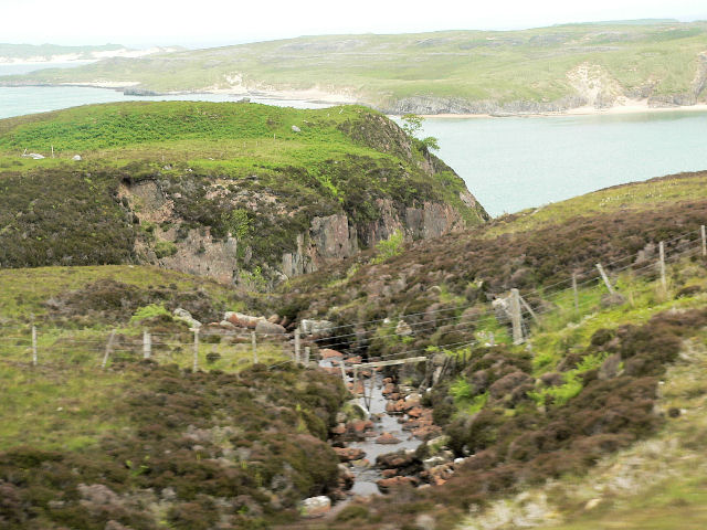
Burn above Kyle of Durness
 Map © Crown Copyright")
TIP: Click the map for more Large scale mapping
- Grid Square
- NC3666, 16 images (more nearby 🔍)
- Photographer
- RH Dengate (more nearby)
- Date Taken
- Monday, 18 June, 2007 (more nearby)
- Submitted
- Tuesday, 17 July, 2007
- Subject Location
-
OSGB36:
 NC 362 668 [100m precision]
WGS84: 58:33.4993N 4:48.9827W - Camera Location
-
OSGB36: NC 360 667
- View Direction
- East-northeast (about 67 degrees)