2012
NZ0949 : Path to Lydgett's Junction
taken 12 years ago, near to Knitsley, County Durham, England
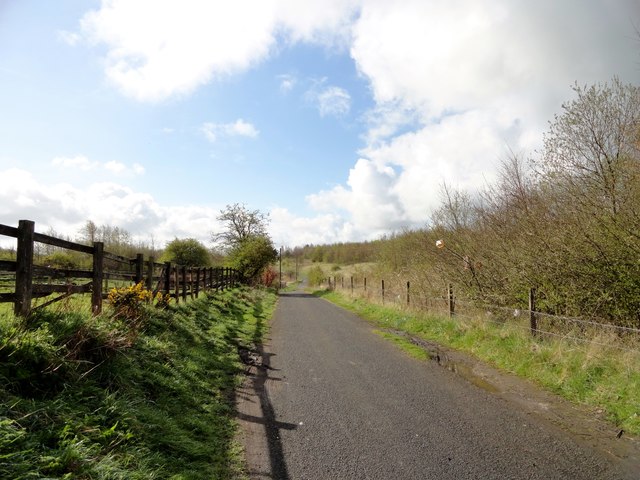
Path to Lydgett's Junction
This is the last section of the Derwent Walk, just before it joins the Waskerley Way at the junction. View looking south.
 Map © Crown Copyright")
TIP: Click the map for more Large scale mapping
- Grid Square
- NZ0949, 91 images (more nearby 🔍)
- Photographer
- Robert Graham (more nearby)
- Date Taken
- Friday, 13 April, 2012 (more nearby)
- Submitted
- Wednesday, 1 June, 2016
- Subject Location
-
OSGB36:
 NZ 0971 4961 [10m precision]
WGS84: 54:50.4729N 1:51.0200W - Camera Location
-
OSGB36: NZ 0969 4972
- View Direction
- South-southeast (about 157 degrees)