2007
SK6611 : Croxton Road, Leicestershire
taken 17 years ago, near to Queniborough, Leicestershire, England
This is 1 of 2 images, with title Croxton Road, Leicestershire in this square
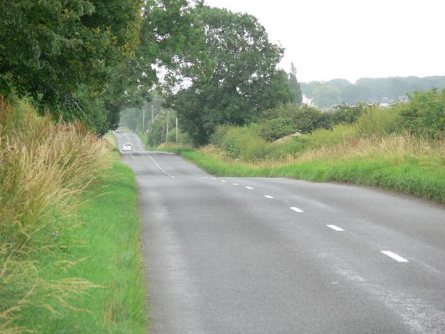
Croxton Road, Leicestershire
To the east of Queniborough Village.
 Map © Crown Copyright")
TIP: Click the map for more Large scale mapping
- Grid Square
- SK6611, 14 images (more nearby 🔍)
- Photographer
- Mat Fascione (more nearby)
- Date Taken
- Monday, 16 July, 2007 (more nearby)
- Submitted
- Wednesday, 18 July, 2007
- Subject Location
-
OSGB36:
 SK 662 118 [100m precision]
WGS84: 52:42.0225N 1:1.2984W - Camera Location
-
OSGB36: SK 660 118
- View Direction
- EAST (about 90 degrees)