2016
TL8236 : Footpath along arable field boundary, near Tudor Lodge, Gestingthorpe
taken 8 years ago, near to Wickham st Paul, Essex, England
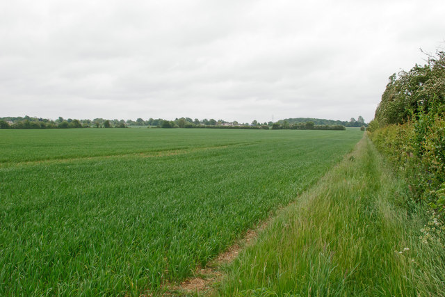
Footpath along arable field boundary, near Tudor Lodge, Gestingthorpe
 Map © Crown Copyright")
TIP: Click the map for more Large scale mapping
- Grid Square
- TL8236, 24 images (more nearby 🔍)
- Photographer
- Roger Jones (more nearby)
- Date Taken
- Monday, 30 May, 2016 (more nearby)
- Submitted
- Friday, 3 June, 2016
- Subject Location
-
OSGB36:
 TL 8217 3636 [10m precision]
WGS84: 51:59.7480N 0:39.1245E - Camera Location
-
OSGB36: TL 8204 3641
- View Direction
- East-southeast (about 112 degrees)