TL0248 : Ouse Valley Way
taken 8 years ago, near to Kempston, Bedford, England
The Ouse Valley Way is a 150 mile footpath, following the River Great Ouse from its source near Syresham in Northamptonshire to its mouth in The Wash near King's Lynn. The path begins outside the King's Head pub in Syresham and ends on the Green Quay in King's Lynn.
There is a long-term plan to complete remaining gaps in the path, meanwhile it is possible to walk the entire route, although in places the footpath and river temporarily part company.
The route passes many interesting places and there is much to see, including attractive countryside, pretty villages, ancient English market towns, churches and a cathedral, and abundant wildlife.
Towns from source to mouth include Buckingham, Milton Keynes, Olney, Bedford, St Neots, Huntingdon, St Ives, Ely, Downham Market, and King's Lynn.
The route is way-marked and maintained by The Countryside Agency who also provide maps and written guides online.
The logo is two swans TL2571 : Ouse Valley Way logo.
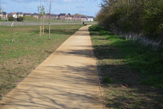
Great Denham Country Park was formed as part of the westward expansion of Bedford towards the village of Great Denham. It is bordered on the north by a new housing development and in the south by the River Great Ouse. It is mainly composed of grassland, with some woodland and several small lakes. A work in progress at present (May 2016)
 Map © Crown Copyright")
- Grid Square
- TL0248, 22 images (more nearby 🔍)
- Photographer
- N Chadwick (more nearby)
- Date Taken
- Saturday, 30 April, 2016 (more nearby)
- Submitted
- Monday, 6 June, 2016
- Subject Location
-
OSGB36:
 TL 0252 4843 [10m precision]
WGS84: 52:7.4810N 0:30.2336W - Camera Location
-
OSGB36: TL 0253 4841
- View Direction
- North-northwest (about 337 degrees)