2016
SU4036 : Track into field on the south side of a shelter belt
taken 8 years ago, 3 km from Crawley, Hampshire, England
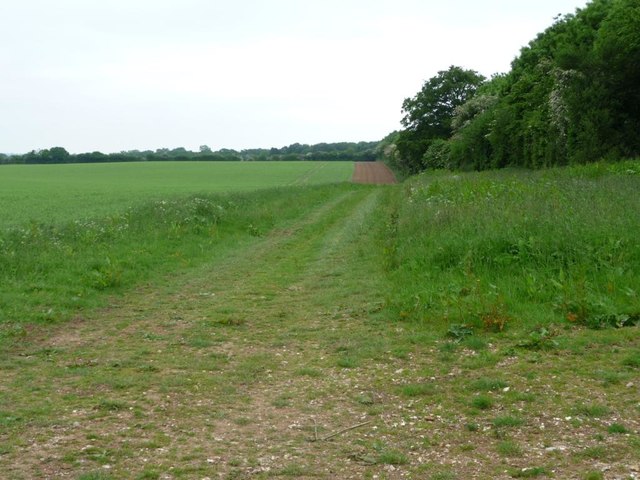
Track into field on the south side of a shelter belt
Taken from a minor road at a 92 metre spot height, just south of the A30.
 Map © Crown Copyright")
TIP: Click the map for more Large scale mapping
- Grid Square
- SU4036, 32 images (more nearby 🔍)
- Photographer
- Christine Johnstone (more nearby)
- Date Taken
- Friday, 3 June, 2016 (more nearby)
- Submitted
- Monday, 6 June, 2016
- Subject Location
-
OSGB36:
 SU 4053 3633 [10m precision]
WGS84: 51:7.4895N 1:25.3343W - Camera Location
-
OSGB36: SU 4055 3635
- View Direction
- West-southwest (about 247 degrees)