2016
SK3950 : The Talbot Taphouse
taken 8 years ago, near to Ripley, Derbyshire, England
This is 1 of 4 images, with title starting with The Talbot in this square
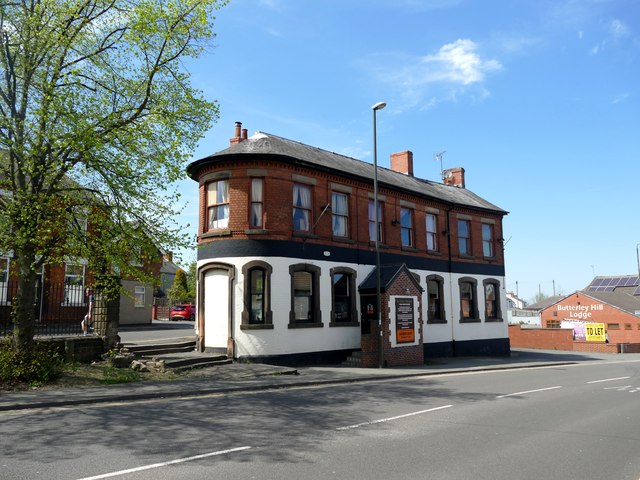
The Talbot Taphouse
An unusual triangular building at the junction of Butterley Hill and Pentrich Road.
 Map © Crown Copyright")
TIP: Click the map for more Large scale mapping
- Grid Square
- SK3950, 90 images (more nearby 🔍)
- Photographer
- Graham Hogg (more nearby)
- Date Taken
- Monday, 9 May, 2016 (more nearby)
- Submitted
- Friday, 10 June, 2016
- Subject Location
-
OSGB36:
 SK 3994 5084 [10m precision]
WGS84: 53:3.1999N 1:24.3355W - Camera Location
-
OSGB36: SK 3995 5081
- View Direction
- North-northwest (about 337 degrees)