2005
NM9101 : River entering Loch Gainmheach, Argyll
taken 19 years ago, 3 km from Finchairn, Argyll And Bute, Scotland
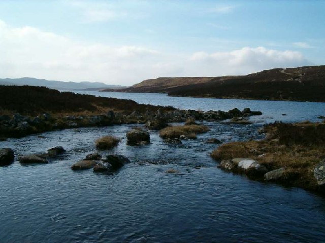
River entering Loch Gainmheach, Argyll
Photo taken from the old cattle drove road across the moors
 Map © Crown Copyright")
TIP: Click the map for more Large scale mapping
- Grid Square
- NM9101, 56 images (more nearby 🔍)
- Photographer
- Patrick Mackie (more nearby)
- Date Taken
- Wednesday, 20 April, 2005 (more nearby)
- Submitted
- Tuesday, 6 September, 2005
- Subject Location
-
OSGB36:
 NM 9183 0151 [10m precision]
WGS84: 56:9.6401N 5:21.2347W - Camera Location
-
OSGB36: NM 9183 0152
- View Direction
- South-southwest (about 202 degrees)